Deforestation risk management
Automatise deforestation monitoring
Forland Deforestation was born from the long field experience of ONF, whose international forest experts are well-known worldwide. It’s a light and flexible tool that can simplify your life, reversing the deforestation trend in your landscape.
forland added values
Our technologies make the difference
-
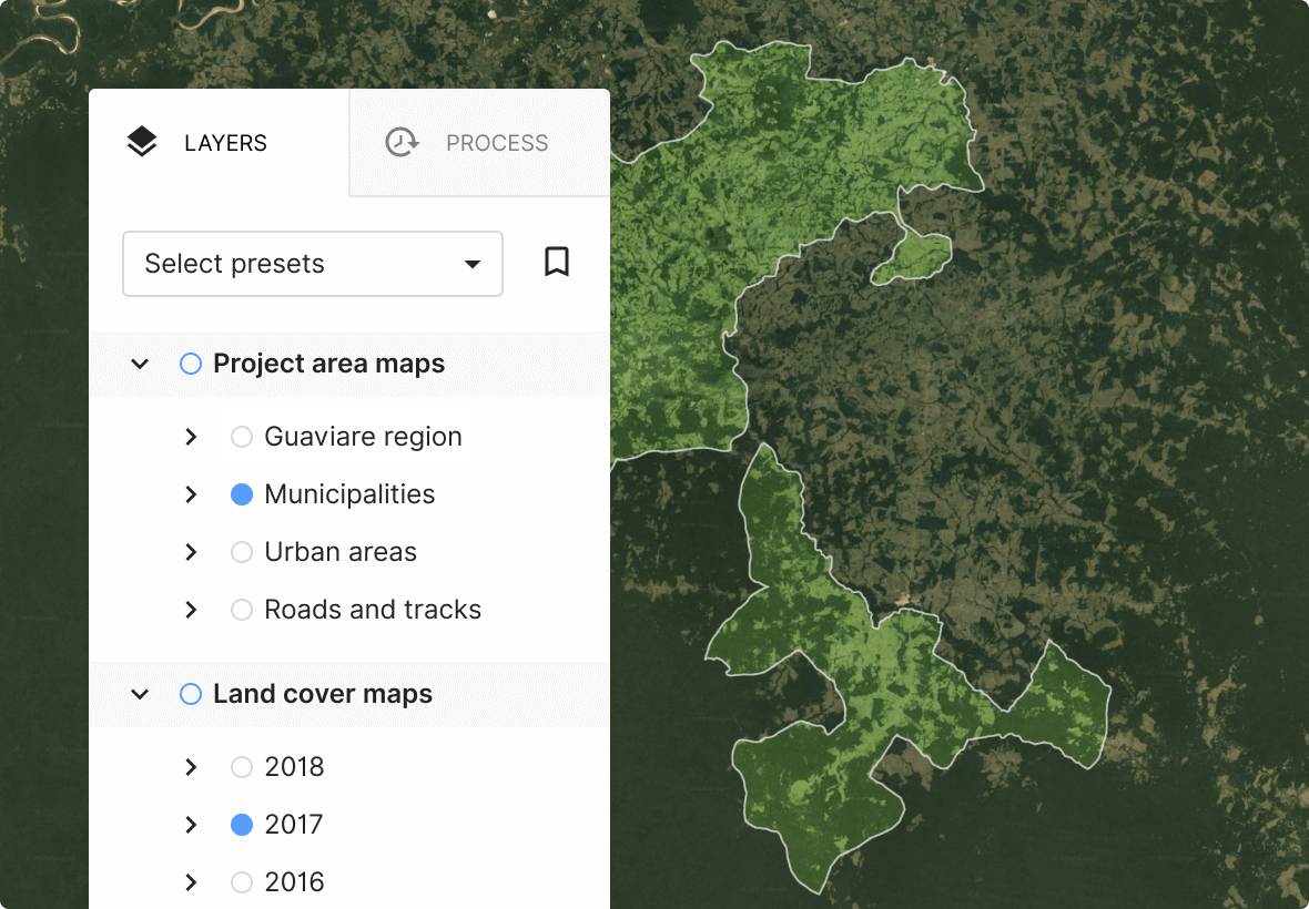
Mapping
Online web-mapping of your territory. We use ESA data, updated every 12 days and covering the entire Earth with an average pixel precision of 1Ha.
-
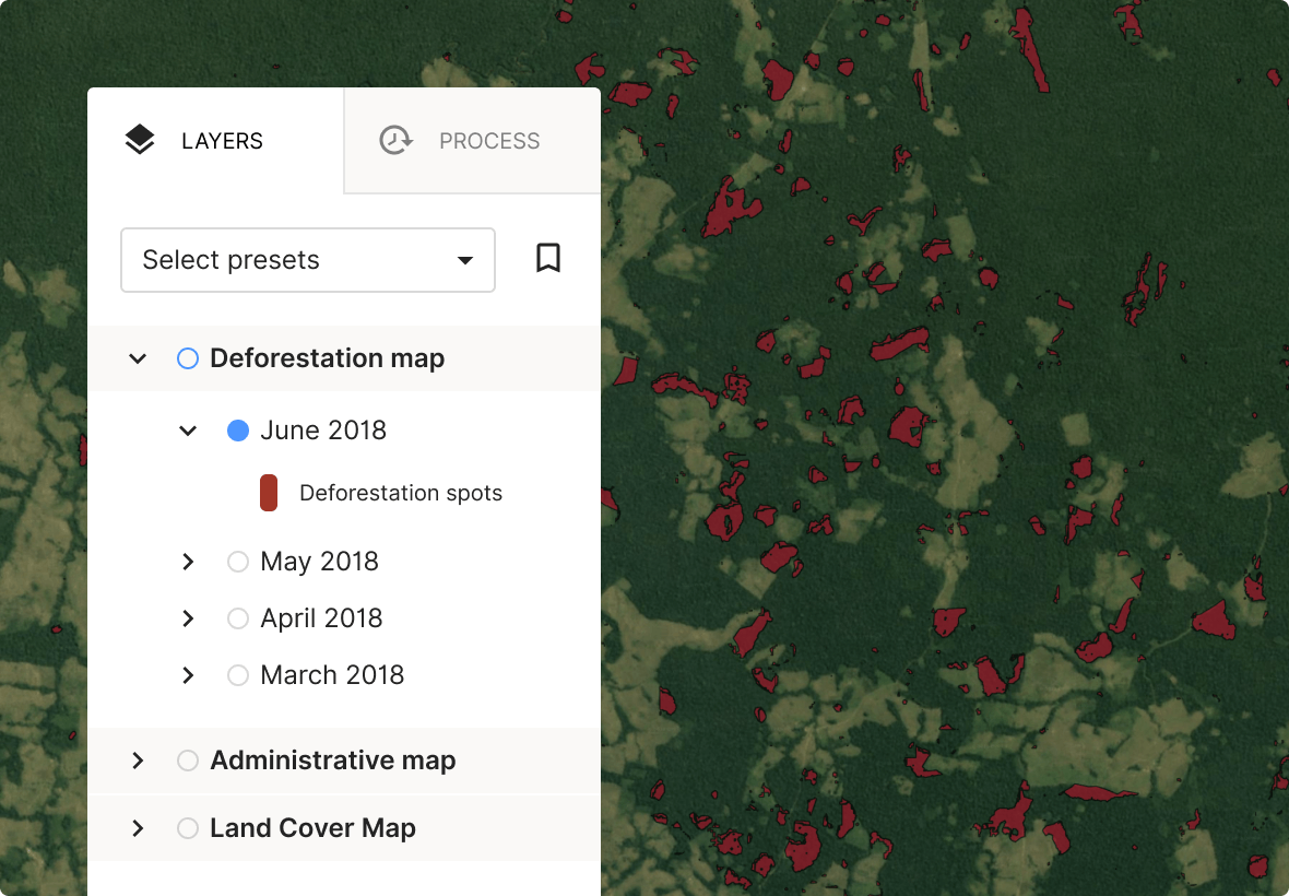
Deforestation monitoring
Visualisation of the past to recent deforestation patches
-
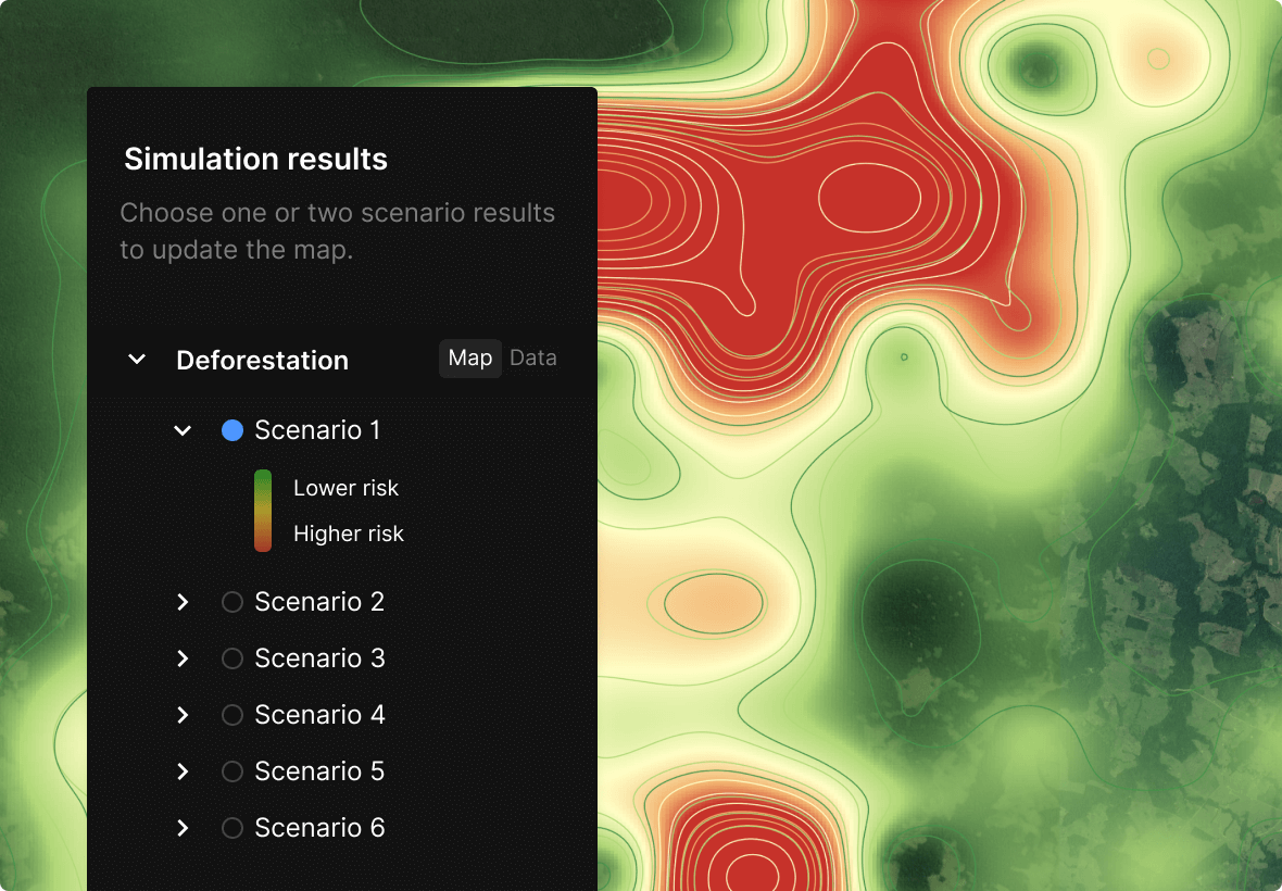
Deforestation risk simulation
Modelise deforestation risks on your territory based on land use plans (e.g. new roads or fields).
-
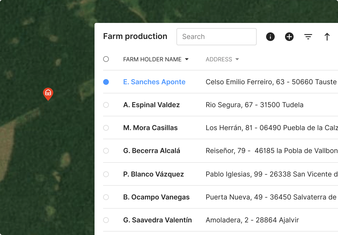
Field data integration
We can integrate automatically your field data into the platform.
-
Alert system
Automatic alert system tailored to your need.
-
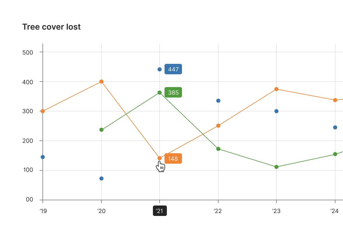
Reporting
Tracking your recorded data, measuring your progress, and communicating the impact of your project
Want more?
Build your own programme in response to your own needs and those specific to your territory or your business!
Contact us
